


 UVT, catalizator al mișcării academice timișorene, își urmează calea spre cunoașterea aprofundată și trecerea către tehnologiile viitorului și ale noilor generațiiUniversitatea de Vest din Timișoara este astăzi cea mai dinamică instituție de învățământ superior din România, o universitate care se...


Articole etichetate cu Blominfo
- Sistem informatic geografic pentru managementul reţelelor de distribuţie apă
- Tehnologii de publicare web-gis pentru urbanism şi amenajarea teritoriului
- Scanarea LiDAR în planificarea intervenţiei în situaţii de urgenţă
-
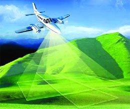 Utilizarea Pictometriei în politica urbanistică a oraşelor
-
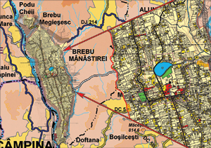 Utilizarea tehnologiilor GIS in realizarea hartilor fizice si admnistrative ale judetelor din Romania
-
 Model 3D al orasului, modelul viitorului
-
 Managementul inundaţiilor folosind tehnologia LiDAR
- Utilizarea platformelor GIS in urbanism
Kingston DataTraveler 2000
Manpower
John Chambers
Android
Endpoint Protector 2009
Sistec
Caterpillar
Securitatea Cibernetica în anul 2012
Avantera
legea privind comunicatiile electronice
Banci
Océ ColorWave 900
AMD SurRound House
Procesor ARM
Goclever Technology
interviu
platforme satelitare
Pentalog
Avansis
WITI
